 vesseltracker.com
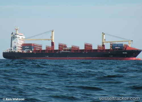
 LM ARES
Current Status
Where is the vessel?
LM ARES is currently in 57 nm SE of Montrose, based on AIS data received less than 1h ago.
Latest AIS update:
Current position: 10.45388° N, 60.04656° W (57 nm SE of Montrose)
Average speed (last 7 days): Loading…
Average speed (last 30 days): Loading…
Vessel profile: LM ARES is a Container Ship with dimensions m x m.
This page combines live AIS, route history, probable destination signals, nearby traffic, and port activity for practical vessel monitoring.
The current position of vessel LM ARES is 10.45388 lat / -60.04656 lng. Updated: 2026-04-10 05:30:51 UTCNearest reference points:
- 16 nm E of Galeota Point
- Near POINT LISAS
- Near Caroni
Currently sailing under the flag of Liberia ![]()
Details:
Live Vessel LM ARES Analytics (details, animations, etc.)
Recent AIS points (UTC):
2026-04-09 23:42:53 UTC · 9.55028, -59.15661 · SOG 14.9 kn · COG 315°2026-04-10 01:23:22 UTC · 9.82424, -59.43248 · SOG 12.8 kn · COG 317°
2026-04-10 03:50:33 UTC · 10.20382, -59.79503 · SOG 12.6 kn · COG 311°
2026-04-10 05:30:51 UTC · 10.45388, -60.04656 · SOG 12.1 kn · COG 309°