 vesseltracker.com
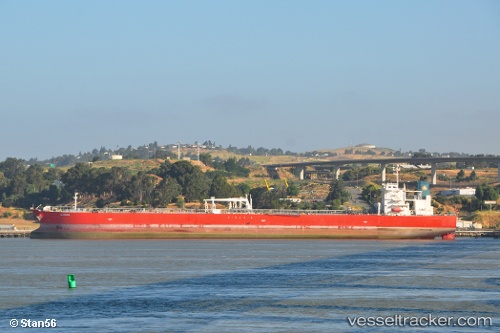
 ALQADISIA
Current Status
Where is the vessel?
ALQADISIA is currently in 111 nm W of Lakshadweep, based on AIS data received less than 1h ago.
Latest AIS update:
Current position: 9.66770° N, 71.03405° E (111 nm W of Lakshadweep)
Average speed (last 7 days): Loading…
Average speed (last 30 days): Loading…
Vessel profile: ALQADISIA is a Crude Oil Tanker with dimensions m x m.
This page combines live AIS, route history, probable destination signals, nearby traffic, and port activity for practical vessel monitoring.
The current position of vessel ALQADISIA is 9.66770 lat / 71.03405 lng. Updated: 2026-04-02 15:11:33 UTCNearest reference points:
- 130 nm W of Lakshadweep
- 119 nm SE of Tinaquillo
- 13 nm NW of Lakshadweep
Currently sailing under the flag of Marshall Islands ![]()
Details:
Live Vessel ALQADISIA Analytics (details, animations, etc.)
Recent AIS points (UTC):
2026-04-02 09:04:22 UTC · 9.84855, 69.90678 · SOG 10.7 kn · COG 95°2026-04-02 11:55:43 UTC · 9.75433, 70.42295 · SOG 10.6 kn · COG -1°
2026-04-02 12:55:50 UTC · 9.72937, 70.60030 · SOG 11.1 kn · COG -1°
2026-04-02 15:11:33 UTC · 9.66770, 71.03405 · SOG 11.3 kn · COG 99°