 vesseltracker.com
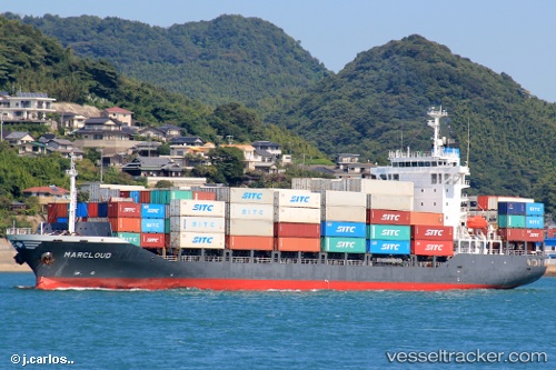
 GLEVIN
Current Status
Where is the vessel?
GLEVIN is currently in 56 nm W of Yanbu al-Bahr, based on AIS data received about 6h ago.
Latest AIS update:
Current position: 23.78376° N, 37.06045° E (56 nm W of Yanbu al-Bahr)
Average speed (last 7 days): Loading…
Average speed (last 30 days): Loading…
Vessel profile: GLEVIN is a Container Ship with dimensions m x m.
This page combines live AIS, route history, probable destination signals, nearby traffic, and port activity for practical vessel monitoring.
The current position of vessel GLEVIN is 23.78376 lat / 37.06045 lng. Updated: 2026-04-16 01:33:38 UTCNearest reference points:
- 74 nm SW of Yanbu
- 30 nm SW of Yanbu
- 35 nm S of Umm Lajj
Currently sailing under the flag of Barbados ![]()
Details:
Live Vessel GLEVIN Analytics (details, animations, etc.)
Recent AIS points (UTC):
2026-04-15 23:28:39 UTC · 24.14567, 36.78762 · SOG 12.2 kn · COG 148°2026-04-16 01:28:38 UTC · 23.79813, 37.04910 · SOG 12.6 kn · COG 145°
2026-04-16 01:33:38 UTC · 23.78376, 37.06045 · SOG 12.7 kn · COG 144°
2026-04-16 01:33:38 UTC · 23.78376, 37.06045 · SOG 12.7 kn · COG 144°