 vesseltracker.com
 HARDRADA
Current Status
Where is the vessel?
HARDRADA is currently in Near Sarköy, based on AIS data received less than 1h ago.
Latest AIS update:
Current position: 40.64392° N, 27.30729° E (Near Sarköy)
Average speed (last 7 days): Loading…
Average speed (last 30 days): Loading…
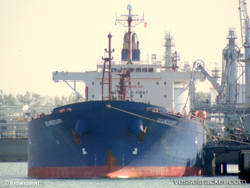
Vessel profile: HARDRADA is a Oil Products Tanker with dimensions 180m x 32m.
This page combines live AIS, route history, probable destination signals, nearby traffic, and port activity for practical vessel monitoring.
The current position of vessel HARDRADA is 40.64392 lat / 27.30729 lng. Updated: 2026-04-12 14:25:34 UTCNearest reference points:
- Near Sarköy
- Near Saraylar
- Near Marmara Adasi
Currently sailing under the flag of Liberia ![]()
HARDRADA built in 2007 year
Deadweight:
45983 tDetails:
Live Vessel HARDRADA Analytics (details, animations, etc.)
Recent AIS points (UTC):
2026-04-12 09:23:34 UTC · 40.89235, 28.57708 · SOG 12.6 kn · COG 262°2026-04-12 10:13:53 UTC · 40.86460, 28.35273 · SOG 12.3 kn · COG 262°
2026-04-12 12:04:24 UTC · 40.80522, 27.84417 · SOG 12.9 kn · COG 259°
2026-04-12 14:25:34 UTC · 40.64392, 27.30729 · SOG 13 kn · COG 248°