 vesseltracker.com
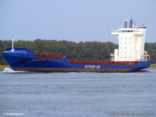
 DIANA B
Current Status
Where is the vessel?
DIANA B is currently in 76 nm S of San Agustin, based on AIS data received less than 1h ago.
Latest AIS update:
Current position: 26.50833° N, 16.28167° W (76 nm S of San Agustin)
Average speed (last 7 days): Loading…
Average speed (last 30 days): Loading…
Vessel profile: DIANA B is a Container Ship with dimensions m x m.
This page combines live AIS, route history, probable destination signals, nearby traffic, and port activity for practical vessel monitoring.
The current position of vessel DIANA B is 26.50833 lat / -16.28167 lng. Updated: 2026-03-30 17:23:48 UTCNearest reference points:
- 33 nm SE of San Agustin
- 22 nm S of San Agustin
- Near San Nicolás
Currently sailing under the flag of Portugal ![]()
Details:
Live Vessel DIANA B Analytics (details, animations, etc.)
Recent AIS points (UTC):
2026-03-30 12:10:01 UTC · 27.67276, -15.42736 · SOG 16.3 kn · COG 210°2026-03-30 13:36:01 UTC · 27.34199, -15.66937 · SOG 16.5 kn · COG 209°
2026-03-30 15:45:17 UTC · 26.86494, -16.01453 · SOG 16.1 kn · COG 213°
2026-03-30 17:23:48 UTC · 26.50833, -16.28167 · SOG 16 kn · COG -1°