 vesseltracker.com
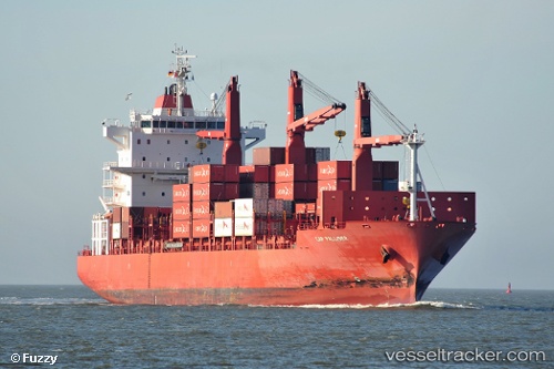
 Cap Palliser
Current Status
Where is the vessel?
Cap Palliser is currently in 48 nm S of Kenton-on-Sea, based on AIS data received about 1h ago.
Latest AIS update:
Current position: 34.40210° S, 27.01040° E (48 nm S of Kenton-on-Sea)
Average speed (last 7 days): Loading…
Average speed (last 30 days): Loading…
Vessel profile: Cap Palliser is a Container Ship with dimensions 188m x 28m.
This page combines live AIS, route history, probable destination signals, nearby traffic, and port activity for practical vessel monitoring.
The current position of vessel Cap Palliser is -34.40210 lat / 27.01040 lng. Updated: 2026-04-09 15:27:16 UTCNearest reference points:
- Near Deal Party
- 21 nm S of Mount Pleasant
Currently sailing under the flag of Liberia ![]()
Cap Palliser built in 2007 year
Deadweight:
28219 tDetails:
Live Vessel Cap Palliser Analytics (details, animations, etc.)
Recent AIS points (UTC):
2026-04-09 09:58:58 UTC · -34.61559, 25.64312 · SOG 11.8 kn · COG 79°2026-04-09 11:41:59 UTC · -34.55926, 26.03307 · SOG 11.6 kn · COG 74°
2026-04-09 14:05:53 UTC · -34.46536, 26.64317 · SOG 13.2 kn · COG 75°
2026-04-09 15:27:16 UTC · -34.40210, 27.01040 · SOG 13.7 kn · COG 69°