 vesseltracker.com
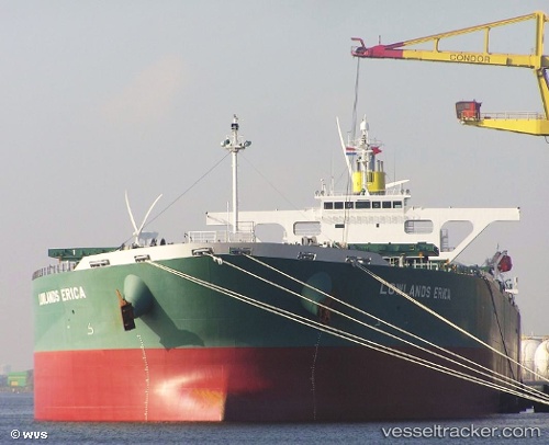
 KERKIS
Current Status
Where is the vessel?
KERKIS is currently in 35 nm S of Gombong, based on AIS data received about 1h ago.
Latest AIS update:
Current position: 6.63957° N, 108.28340° E (35 nm S of Gombong)
Average speed (last 7 days): Loading…
Average speed (last 30 days): Loading…
Vessel profile: KERKIS is a Bulk Carrier with dimensions 45m x 289m.
This page combines live AIS, route history, probable destination signals, nearby traffic, and port activity for practical vessel monitoring.
The current position of vessel KERKIS is 6.63957 lat / 108.28340 lng. Updated: 2026-04-16 05:20:10 UTCNearest reference points:
- 11 nm N of Gombong
- 41 nm NW of Brebes
- 30 nm SW of Dai Hung (Tandem Load)
Currently sailing under the flag of Bahamas ![]()
KERKIS built in 2007 year
Deadweight:
176862 tDetails:
Live Vessel KERKIS Analytics (details, animations, etc.)
Recent AIS points (UTC):
2026-04-15 23:26:30 UTC · 5.83707, 107.52902 · SOG 11.1 kn · COG -1°2026-04-16 01:51:30 UTC · 6.16170, 107.84293 · SOG 11.2 kn · COG 45°
2026-04-16 03:44:10 UTC · 6.42047, 108.07943 · SOG 11.1 kn · COG 45°
2026-04-16 05:20:10 UTC · 6.63957, 108.28340 · SOG 10.7 kn · COG 51°