 vesseltracker.com
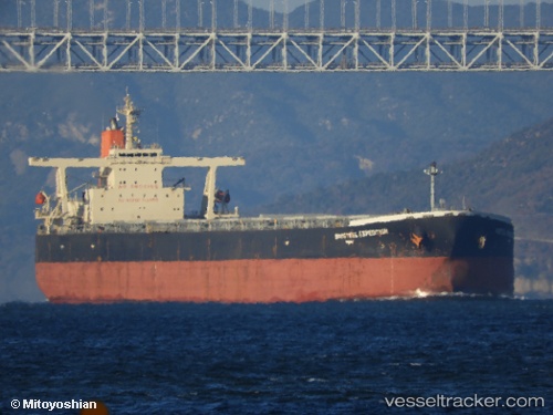
Baosteel Expedition
Current StatusWhere is the vessel?
Baosteel Expedition is currently in 15 nm SE of Cape Agulhas, based on AIS data received about 1h ago.
Latest AIS update:
Current position: 35.04709° S, 20.17366° E (15 nm SE of Cape Agulhas)
Average speed (last 7 days): Loading…
Average speed (last 30 days): Loading…
Vessel profile: Baosteel Expedition is a Ore Carrier with dimensions 50m x 300m.
This page combines live AIS, route history, probable destination signals, nearby traffic, and port activity for practical vessel monitoring.
The current position of vessel Baosteel Expedition is -35.04709 lat / 20.17366 lng. Updated: 2026-04-04 07:33:01 UTCNearest reference points:
- 15 nm SE of Moorreesburg
- Near Mitchells Plain
- 37 nm S of Mosselbaai
Details:
Live Vessel Baosteel Expedition Analytics (details, animations, etc.)
Recent AIS points (UTC):
2026-04-04 02:13:32 UTC · -34.83597, 21.39259 · SOG 11.3 kn · COG 257°2026-04-04 03:36:21 UTC · -34.89010, 21.08106 · SOG 11.4 kn · COG 258°
2026-04-04 05:24:17 UTC · -34.95766, 20.66598 · SOG 11.6 kn · COG 257°
2026-04-04 07:33:01 UTC · -35.04709, 20.17366 · SOG 11.3 kn · COG 259°