 vesseltracker.com
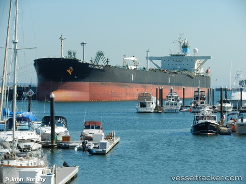
 ANLAN
ANLAN
Current Status
Where is the vessel?
ANLAN is currently in 17 nm W of Nygård, based on AIS data received about 1h ago.
Latest AIS update:
Current position: 56.96614° N, 11.76080° E (17 nm W of Nygård)
Average speed (last 7 days): Loading…
Average speed (last 30 days): Loading…
Vessel profile: ANLAN is a Crude Oil Tanker with dimensions m x m.
This page combines live AIS, route history, probable destination signals, nearby traffic, and port activity for practical vessel monitoring.
The current position of vessel ANLAN is 56.96614 lat / 11.76080 lng. Updated: 2026-04-02 03:45:51 UTCNearest reference points:
- Near Varberg
- Near Frillesås
- 11 nm SW of Vrångö
Currently sailing under the flag of Panama ![]()
Details:
Live Vessel ANLAN Analytics (details, animations, etc.)
Recent AIS points (UTC):
2026-04-01 22:06:30 UTC · 56.19098, 11.09306 · SOG 11.2 kn · COG 3°2026-04-02 00:09:41 UTC · 56.45807, 11.33462 · SOG 11.2 kn · COG 67°
2026-04-02 02:11:00 UTC · 56.69201, 11.86510 · SOG 11.8 kn · COG 41°
2026-04-02 03:45:51 UTC · 56.96614, 11.76080 · SOG 11.6 kn · COG 341°