 vesseltracker.com
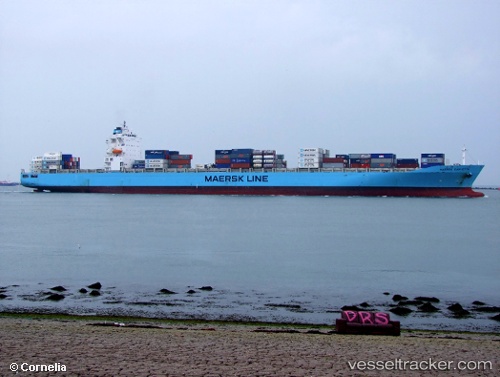
 LONG BEACH EXPRESS
Current Status
Where is the vessel?
LONG BEACH EXPRESS is currently in 26 nm NE of TRYPHENA, based on AIS data received about 1h ago.
Latest AIS update:
Current position: 36.14851° S, 175.97769° E (26 nm NE of TRYPHENA)
Average speed (last 7 days): Loading…
Average speed (last 30 days): Loading…
Vessel profile: LONG BEACH EXPRESS is a Container Ship with dimensions 293m x 294m.
This page combines live AIS, route history, probable destination signals, nearby traffic, and port activity for practical vessel monitoring.
The current position of vessel LONG BEACH EXPRESS is -36.14851 lat / 175.97769 lng. Updated: 2026-03-27 12:14:34 UTCNearest reference points:
- Near WHITIANGA
- Near Matiatia Bay
- Near GULF HARBOUR
Currently sailing under the flag of Liberia ![]()
LONG BEACH EXPRESS built in 2008 year
Deadweight:
68463 tDetails:
Live Vessel LONG BEACH EXPRESS Analytics (details, animations, etc.)
Recent AIS points (UTC):
2026-03-27 06:17:49 UTC · -36.22052, 175.92014 · SOG 6 kn · COG 42°2026-03-27 08:01:22 UTC · -36.19905, 175.91286 · SOG 7.5 kn · COG 223°
2026-03-27 09:31:24 UTC · -36.14773, 175.99443 · SOG 6.7 kn · COG 42°
2026-03-27 12:14:34 UTC · -36.14851, 175.97769 · SOG 0.6 kn · COG 325°