 vesseltracker.com
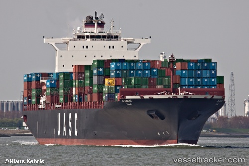
 AL SAFAT
Current Status
Where is the vessel?
AL SAFAT is currently in 12 nm E of Tybee Island, based on AIS data received about 1h ago.
Latest AIS update:
Current position: 31.94496° N, 80.59938° W (12 nm E of Tybee Island)
Average speed (last 7 days): Loading…
Average speed (last 30 days): Loading…
Vessel profile: AL SAFAT is a Container Ship with dimensions m x m.
This page combines live AIS, route history, probable destination signals, nearby traffic, and port activity for practical vessel monitoring.
The current position of vessel AL SAFAT is 31.94496 lat / -80.59938 lng. Updated: 2026-03-30 09:39:58 UTCNearest reference points:
- Near Saint Andrews
- 33 nm S of Kiawah Island
- Near Charleston
Currently sailing under the flag of Liberia ![]()
Details:
Live Vessel AL SAFAT Analytics (details, animations, etc.)
Recent AIS points (UTC):
2026-03-30 03:48:29 UTC · 32.14302, -79.95632 · SOG 9.1 kn · COG 237°2026-03-30 05:59:18 UTC · 31.92771, -80.28933 · SOG 7.4 kn · COG 228°
2026-03-30 07:45:59 UTC · 31.83727, -80.50214 · SOG 7.1 kn · COG 2°
2026-03-30 09:39:58 UTC · 31.94496, -80.59938 · SOG 7.2 kn · COG 258°