 vesseltracker.com
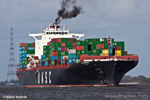
 AL MANAMAH
Current Status
Where is the vessel?
AL MANAMAH is currently in Near Baarland, based on AIS data received about 1h ago.
Latest AIS update:
Current position: 51.36366° N, 3.90653° E (Near Baarland)
Average speed (last 7 days): Loading…
Average speed (last 30 days): Loading…
Vessel profile: AL MANAMAH is a Container Ship with dimensions m x m.
This page combines live AIS, route history, probable destination signals, nearby traffic, and port activity for practical vessel monitoring.
The current position of vessel AL MANAMAH is 51.36366 lat / 3.90653 lng. Updated: 2026-04-08 05:58:35 UTCNearest reference points:
- Near Baarland
- Near Hansweert/Schore
- Near Terneuzen
Currently sailing under the flag of Liberia ![]()
Details:
Live Vessel AL MANAMAH Analytics (details, animations, etc.)
Recent AIS points (UTC):
2026-04-08 00:02:25 UTC · 51.33647, 4.27655 · SOG 0 kn · COG 337°2026-04-08 01:44:20 UTC · 51.33642, 4.27654 · SOG 0.1 kn · COG 338°
2026-04-08 03:22:31 UTC · 51.33639, 4.27654 · SOG 0 kn · COG 338°
2026-04-08 05:58:35 UTC · 51.36366, 3.90653 · SOG 17.7 kn · COG 233°