 vesseltracker.com
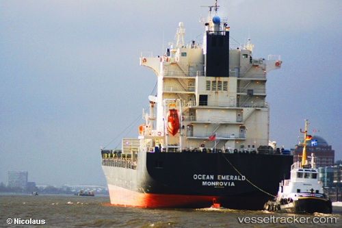
 MSC STRAIT II
Current Status
Where is the vessel?
MSC STRAIT II is currently in 17 nm S of LA PALOMA, based on AIS data received about 1h ago.
Latest AIS update:
Current position: 34.93619° S, 54.20755° W (17 nm S of LA PALOMA)
Average speed (last 7 days): Loading…
Average speed (last 30 days): Loading…
Vessel profile: MSC STRAIT II is a Container Ship with dimensions m x m.
This page combines live AIS, route history, probable destination signals, nearby traffic, and port activity for practical vessel monitoring.
The current position of vessel MSC STRAIT II is -34.93619 lat / -54.20755 lng. Updated: 2026-04-09 23:37:00 UTCNearest reference points:
- 21 nm E of PUNTA DEL ESTE
- 12 nm S of Piriápolis
- 75 nm SE of LA PALOMA
Currently sailing under the flag of Liberia ![]()
Details:
Live Vessel MSC STRAIT II Analytics (details, animations, etc.)
Recent AIS points (UTC):
2026-04-09 17:51:45 UTC · -35.11115, -56.08268 · SOG 14.9 kn · COG 69°2026-04-09 19:42:33 UTC · -35.07650, -55.56864 · SOG 14.4 kn · COG 94°
2026-04-09 21:57:15 UTC · -35.07662, -54.76815 · SOG 18.5 kn · COG 92°
2026-04-09 23:37:00 UTC · -34.93619, -54.20755 · SOG 17.1 kn · COG 71°