 vesseltracker.com
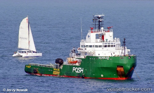
 MAVERICK I
Current Status
Where is the vessel?
MAVERICK I is currently in 93 nm SE of Oluvil, based on AIS data received about 2h ago.
Latest AIS update:
Current position: 6.10375° N, 82.85946° E (93 nm SE of Oluvil)
Average speed (last 7 days): Loading…
Average speed (last 30 days): Loading…
Vessel profile: MAVERICK I is a Tug with dimensions m x m.
This page combines live AIS, route history, probable destination signals, nearby traffic, and port activity for practical vessel monitoring.
The current position of vessel MAVERICK I is 6.10375 lat / 82.85946 lng. Updated: 2026-04-02 07:50:40 UTCNearest reference points:
- 79 nm E of Konwelana
- 75 nm E of Konwelana
- 53 nm SE of Konwelana
Currently sailing under the flag of Liberia ![]()
Details:
Live Vessel MAVERICK I Analytics (details, animations, etc.)
Recent AIS points (UTC):
2026-04-02 03:19:12 UTC · 6.09117, 82.57299 · SOG 3.2 kn · COG -1°2026-04-02 06:20:09 UTC · 6.10181, 82.76743 · SOG 3.7 kn · COG 92°
2026-04-02 07:50:40 UTC · 6.10375, 82.85946 · SOG 3.5 kn · COG 102°
2026-04-02 07:50:40 UTC · 6.10375, 82.85946 · SOG 3.5 kn · COG 102°