 vesseltracker.com
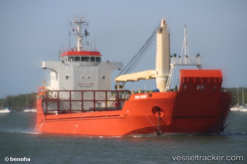
Hiri Chief
Current StatusWhere is the vessel?
Hiri Chief is currently in 85 nm N of Tami Island, based on AIS data received about 1h ago.
Latest AIS update:
Current position: 5.37333° S, 147.69833° E (85 nm N of Tami Island)
Average speed (last 7 days): Loading…
Average speed (last 30 days): Loading…
Vessel profile: Hiri Chief is a Landing Craft with dimensions 18m x 78m.
This page combines live AIS, route history, probable destination signals, nearby traffic, and port activity for practical vessel monitoring.
The current position of vessel Hiri Chief is -5.37333 lat / 147.69833 lng. Updated: 2026-04-01 15:26:34 UTCNearest reference points:
- 42 nm E of Tami Island
- Near Lae
Details:
Live Vessel Hiri Chief Analytics (details, animations, etc.)
Recent AIS points (UTC):
2026-04-01 09:44:48 UTC · -5.32805, 148.52460 · SOG 8.5 kn · COG 252°2026-04-01 11:34:25 UTC · -5.36570, 148.26888 · SOG 8.6 kn · COG 282°
2026-04-01 13:20:33 UTC · -5.32333, 148.01666 · SOG 9 kn · COG -1°
2026-04-01 15:26:34 UTC · -5.37333, 147.69833 · SOG 9 kn · COG -1°