 vesseltracker.com
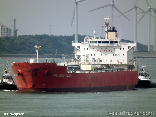
 ATLANTIS ALEXANDRIA
Current Status
Where is the vessel?
ATLANTIS ALEXANDRIA is currently in Near ROBBEN ISLAND, based on AIS data received less than 1h ago.
Latest AIS update:
Current position: 33.84093° S, 18.41661° E (Near ROBBEN ISLAND)
Average speed (last 7 days): Loading…
Average speed (last 30 days): Loading…
Vessel profile: ATLANTIS ALEXANDRIA is a Oil/Chemical Tanker with dimensions m x m.
This page combines live AIS, route history, probable destination signals, nearby traffic, and port activity for practical vessel monitoring.
The current position of vessel ATLANTIS ALEXANDRIA is -33.84093 lat / 18.41661 lng. Updated: 2026-04-09 07:21:04 UTCNearest reference points:
- Near Cape Town
- Near Ben Schoeman Dock
- Near Salt River
Currently sailing under the flag of Marshall Islands ![]()
Details:
Live Vessel ATLANTIS ALEXANDRIA Analytics (details, animations, etc.)
Recent AIS points (UTC):
2026-04-09 01:33:07 UTC · -33.84146, 18.41786 · SOG 0.1 kn · COG 238°2026-04-09 04:00:09 UTC · -33.84124, 18.41734 · SOG 0.1 kn · COG 207°
2026-04-09 06:15:04 UTC · -33.84093, 18.41615 · SOG 0.2 kn · COG 170°
2026-04-09 07:21:04 UTC · -33.84093, 18.41661 · SOG 0.2 kn · COG 185°