 vesseltracker.com
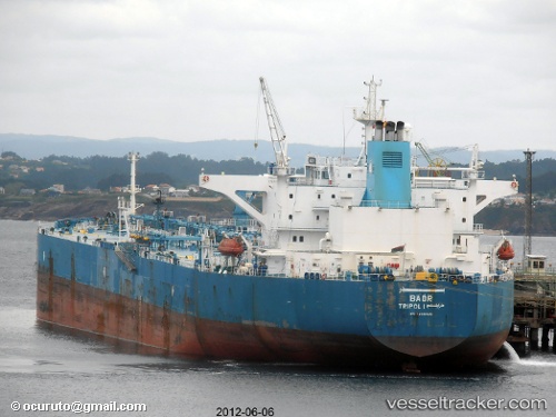
 MIRIAM B
Current Status
Where is the vessel?
MIRIAM B is currently in Near Burgas, based on AIS data received about 1h ago.
Latest AIS update:
Current position: 42.49676° N, 27.56575° E (Near Burgas)
Average speed (last 7 days): Loading…
Average speed (last 30 days): Loading…
Vessel profile: MIRIAM B is a Crude Oil Tanker with dimensions m x m.
This page combines live AIS, route history, probable destination signals, nearby traffic, and port activity for practical vessel monitoring.
The current position of vessel MIRIAM B is 42.49676 lat / 27.56575 lng. Updated: 2026-04-09 19:45:51 UTCNearest reference points:
- Near Beloslav
- Near Ignatievo
- Near Varna
Currently sailing under the flag of Guinea ![]()
Details:
Live Vessel MIRIAM B Analytics (details, animations, etc.)
Recent AIS points (UTC):
2026-04-09 14:06:50 UTC · 42.49930, 27.56584 · SOG 0 kn · COG -1°2026-04-09 15:24:51 UTC · 42.49906, 27.56565 · SOG 0 kn · COG -1°
2026-04-09 17:28:08 UTC · 42.49927, 27.56591 · SOG 0.1 kn · COG -1°
2026-04-09 19:45:51 UTC · 42.49676, 27.56575 · SOG 0.1 kn · COG -1°