 vesseltracker.com
Find the position of the vessel Cape Fulmar on the map. The latter are known coordinates and path.
marine traffic ship tracker show on live map
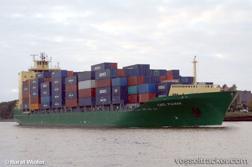
The current position of vessel Cape Fulmar is 37.7513 lat / 8.95914 lng. Updated: 2024-05-02 11:38:27 UTCPort of registry:
Majuro (coral atoll, capital of the Marshall Islands)Payload_mass:
20308.2 tonneGross tonnage:
15995Service entry:
2007-01-01T00:00:00ZManufacturer:
Peene-Werft (German company)
Details:
Last coordinates of the vessel:
UTC, 37.6843, 9.65911, course: 280, speed: 12.4UTC, 37.7202, 9.33115, course: 272, speed: 12.4
UTC, 37.7494, 8.98135, course: 276, speed: 11.7
2024-05-02 11:38:27 UTC, 37.7513, 8.95914, course: 276, speed: 11.7