 vesseltracker.com
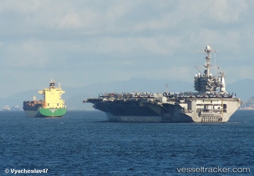
 PROTOSTAR
Current Status
Where is the vessel?
PROTOSTAR is currently in 32 nm E of Lü-hua Shan, based on AIS data received about 3h ago.
Latest AIS update:
Current position: 30.84567° N, 123.24562° E (32 nm E of Lü-hua Shan)
Average speed (last 7 days): Loading…
Average speed (last 30 days): Loading…
Vessel profile: PROTOSTAR is a Container Ship with dimensions m x m.
This page combines live AIS, route history, probable destination signals, nearby traffic, and port activity for practical vessel monitoring.
The current position of vessel PROTOSTAR is 30.84567 lat / 123.24562 lng. Updated: 2026-04-14 23:48:53 UTCNearest reference points:
- 44 nm E of Lü-hua Shan
- 37 nm SE of Lü-hua Shan
- 46 nm SE of Lü-hua Shan
Currently sailing under the flag of Antigua and Barbuda ![]()
Details:
Live Vessel PROTOSTAR Analytics (details, animations, etc.)
Recent AIS points (UTC):
2026-04-14 17:21:32 UTC · 31.10186, 122.36072 · SOG 12.5 kn · COG 88°2026-04-14 20:12:24 UTC · 31.09177, 122.86944 · SOG 8.3 kn · COG 83°
2026-04-14 22:09:04 UTC · 30.98737, 123.08836 · SOG 7.4 kn · COG 96°
2026-04-14 23:48:53 UTC · 30.84567, 123.24562 · SOG 7.2 kn · COG 145°