 vesseltracker.com
 MARINA ONE
Current Status
Where is the vessel?
MARINA ONE is currently in Near Tungprong Pt, based on AIS data received less than 1h ago.
Latest AIS update:
Current position: 12.75993° N, 100.72326° E (Near Tungprong Pt)
Average speed (last 7 days): Loading…
Average speed (last 30 days): Loading…
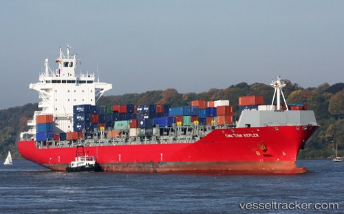
Vessel profile: MARINA ONE is a Container Ship with dimensions m x m.
This page combines live AIS, route history, probable destination signals, nearby traffic, and port activity for practical vessel monitoring.
The current position of vessel MARINA ONE is 12.75993 lat / 100.72326 lng. Updated: 2026-04-03 07:53:37 UTCNearest reference points:
- Near SATTAHIP
- Near Tips Container Terminal
- Near Sriracha
Currently sailing under the flag of Liberia ![]()
Details:
Live Vessel MARINA ONE Analytics (details, animations, etc.)
Recent AIS points (UTC):
2026-04-03 02:07:21 UTC · 13.05543, 100.90126 · SOG 0 kn · COG 72°2026-04-03 04:04:22 UTC · 13.05539, 100.90126 · SOG 0 kn · COG 72°
2026-04-03 05:30:58 UTC · 13.07068, 100.87096 · SOG 9.5 kn · COG 309°
2026-04-03 07:53:37 UTC · 12.75993, 100.72326 · SOG 9.7 kn · COG 179°