 vesseltracker.com
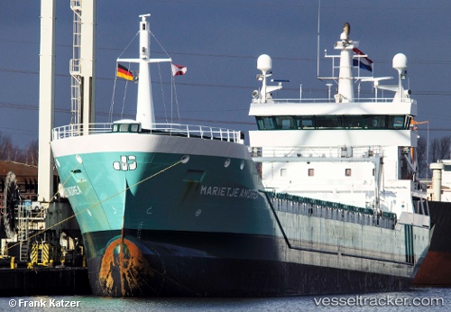
 Marietje Andrea
Current Status
Where is the vessel?
Marietje Andrea is currently in 18 nm S of Flekkerøy, based on AIS data received about 1h ago.
Latest AIS update:
Current position: 57.79208° N, 8.12631° E (18 nm S of Flekkerøy)
Average speed (last 7 days): Loading…
Average speed (last 30 days): Loading…
Vessel profile: Marietje Andrea is a General Cargo Ship with dimensions 126m x 15m.
This page combines live AIS, route history, probable destination signals, nearby traffic, and port activity for practical vessel monitoring.
The current position of vessel Marietje Andrea is 57.79208 lat / 8.12631 lng. Updated: 2026-03-29 01:23:06 UTCNearest reference points:
- Near Kristiansand
- 27 nm N of HANSTHOLM
- Near HANSTHOLM
Currently sailing under the flag of Netherlands ![]()
Marietje Andrea built in 2009 year
Deadweight:
8334 tDetails:
Live Vessel Marietje Andrea Analytics (details, animations, etc.)
Recent AIS points (UTC):
2026-03-28 19:35:35 UTC · 57.84231, 9.82174 · SOG 9.9 kn · COG 268°2026-03-28 21:37:26 UTC · 57.84219, 9.22610 · SOG 8.3 kn · COG 268°
2026-03-29 00:15:44 UTC · 57.80550, 8.47621 · SOG 9.6 kn · COG 265°
2026-03-29 01:23:06 UTC · 57.79208, 8.12631 · SOG 10.2 kn · COG 267°