 vesseltracker.com
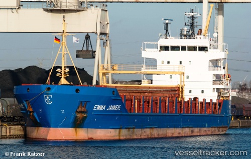
 BESTEKAR
Current Status
Where is the vessel?
BESTEKAR is currently in 10 nm W of Free Port, based on AIS data received about 2h ago.
Latest AIS update:
Current position: 25.31142° N, 55.07024° E (10 nm W of Free Port)
Average speed (last 7 days): Loading…
Average speed (last 30 days): Loading…
Vessel profile: BESTEKAR is a General Cargo with dimensions m x m.
This page combines live AIS, route history, probable destination signals, nearby traffic, and port activity for practical vessel monitoring.
The current position of vessel BESTEKAR is 25.31142 lat / 55.07024 lng. Updated: 2026-03-26 18:21:27 UTCNearest reference points:
- Near Free Port
- 17 nm NW of Free Port
- Near DUBAI
Currently sailing under the flag of Barbados ![]()
Details:
Live Vessel BESTEKAR Analytics (details, animations, etc.)
Recent AIS points (UTC):
2026-03-26 11:38:07 UTC · 25.31224, 55.07056 · SOG 0.1 kn · COG 99°2026-03-26 13:24:29 UTC · 25.31093, 55.07108 · SOG 0.1 kn · COG 46°
2026-03-26 15:26:38 UTC · 25.31103, 55.07040 · SOG 0.3 kn · COG 76°
2026-03-26 18:21:27 UTC · 25.31142, 55.07024 · SOG 0.2 kn · COG 85°