 vesseltracker.com
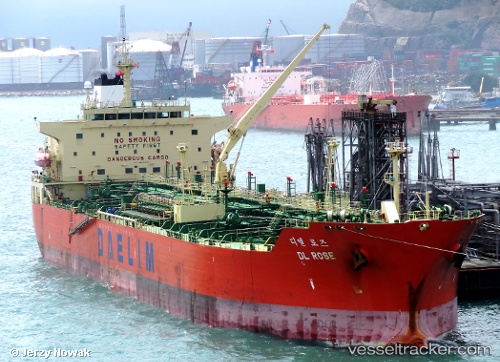
 APIASTOS
Current Status
Where is the vessel?
APIASTOS is currently in 10 nm NW of Oostende, based on AIS data received about 1h ago.
Latest AIS update:
Current position: 51.36257° N, 2.74412° E (10 nm NW of Oostende)
Average speed (last 7 days): Loading…
Average speed (last 30 days): Loading…
Vessel profile: APIASTOS is a Oil Products Tanker with dimensions m x m.
This page combines live AIS, route history, probable destination signals, nearby traffic, and port activity for practical vessel monitoring.
The current position of vessel APIASTOS is 51.36257 lat / 2.74412 lng. Updated: 2026-04-03 11:46:23 UTCNearest reference points:
- 13 nm NW of Middelkerke
- Near Oostende
- Near Lombardsijde
Currently sailing under the flag of Liberia ![]()
Details:
Live Vessel APIASTOS Analytics (details, animations, etc.)
Recent AIS points (UTC):
2026-04-03 05:45:50 UTC · 51.34102, 2.56672 · SOG 0.2 kn · COG 179°2026-04-03 07:57:51 UTC · 51.34005, 2.56534 · SOG 0 kn · COG 121°
2026-04-03 09:46:03 UTC · 51.33835, 2.56500 · SOG 0 kn · COG 109°
2026-04-03 11:46:23 UTC · 51.36257, 2.74412 · SOG 6.6 kn · COG 99°