 vesseltracker.com
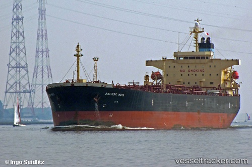
 DINA F
Current Status
Where is the vessel?
DINA F is currently in 10 nm E of Port Aransas, based on AIS data received about 1h ago.
Latest AIS update:
Current position: 27.77930° N, 96.86523° W (10 nm E of Port Aransas)
Average speed (last 7 days): Loading…
Average speed (last 30 days): Loading…
Vessel profile: DINA F is a Oil Products Tanker with dimensions 32m x 183m.
This page combines live AIS, route history, probable destination signals, nearby traffic, and port activity for practical vessel monitoring.
The current position of vessel DINA F is 27.77930 lat / -96.86523 lng. Updated: 2026-04-07 16:12:38 UTCNearest reference points:
- 10 nm E of Port Aransas
- Near Port Aransas
- Near PORT ARANSAS
Currently sailing under the flag of Liberia ![]()
DINA F built in 0 year
Deadweight:
0 tDetails:
Live Vessel DINA F Analytics (details, animations, etc.)
Recent AIS points (UTC):
2026-04-07 10:08:19 UTC · 27.77934, -96.86530 · SOG 0.1 kn · COG 62°2026-04-07 11:53:21 UTC · 27.77949, -96.86531 · SOG 0.1 kn · COG 64°
2026-04-07 13:40:07 UTC · 27.77943, -96.86535 · SOG 0.1 kn · COG -1°
2026-04-07 16:12:38 UTC · 27.77930, -96.86523 · SOG 0.1 kn · COG -1°