 vesseltracker.com
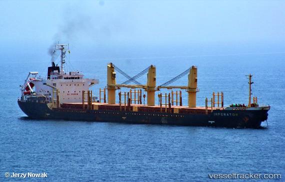
 IMPERATOR
Current Status
Where is the vessel?
IMPERATOR is currently in 10 nm SE of Methana, based on AIS data received less than 1h ago.
Latest AIS update:
Current position: 37.47955° N, 23.72698° E (10 nm SE of Methana)
Average speed (last 7 days): Loading…
Average speed (last 30 days): Loading…
Vessel profile: IMPERATOR is a Bulk Carrier with dimensions m x m.
This page combines live AIS, route history, probable destination signals, nearby traffic, and port activity for practical vessel monitoring.
The current position of vessel IMPERATOR is 37.47955 lat / 23.72698 lng. Updated: 2026-04-02 07:34:23 UTCNearest reference points:
- Near Methana
- Near POROS
- Near Galatas Troizinas
Currently sailing under the flag of Antigua and Barbuda ![]()
Details:
Live Vessel IMPERATOR Analytics (details, animations, etc.)
Recent AIS points (UTC):
2026-04-02 01:43:19 UTC · 37.46548, 23.90773 · SOG 0.4 kn · COG 218°2026-04-02 04:19:17 UTC · 37.46647, 23.90738 · SOG 0.9 kn · COG 232°
2026-04-02 05:22:18 UTC · 37.46602, 23.90810 · SOG 1.5 kn · COG 193°
2026-04-02 07:34:23 UTC · 37.47955, 23.72698 · SOG 7.8 kn · COG 296°