 vesseltracker.com
 BOSFOR
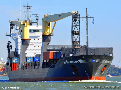
Current Status
Where is the vessel?
BOSFOR is currently in 14 nm SE of Ronehamn, based on AIS data received about 2h ago.
Latest AIS update:
Current position: 56.96653° N, 18.71441° E (14 nm SE of Ronehamn)
Average speed (last 7 days): Loading…
Average speed (last 30 days): Loading…
Vessel profile: BOSFOR is a General Cargo with dimensions m x m.
This page combines live AIS, route history, probable destination signals, nearby traffic, and port activity for practical vessel monitoring.
The current position of vessel BOSFOR is 56.96653 lat / 18.71441 lng. Updated: 2026-04-01 09:24:13 UTCNearest reference points:
- 39 nm W of Pilies juru uosto PVP/Klaipeda
- Near Stora Vika
- Near WLADYSLAWOWO
Currently sailing under the flag of Panama ![]()
Details:
Live Vessel BOSFOR Analytics (details, animations, etc.)
Recent AIS points (UTC):
2026-04-01 04:11:35 UTC · 56.28551, 17.25119 · SOG 12.3 kn · COG 51°2026-04-01 05:22:54 UTC · 56.43760, 17.59331 · SOG 12.2 kn · COG 51°
2026-04-01 07:53:05 UTC · 56.74319, 18.33140 · SOG 12.1 kn · COG 52°
2026-04-01 09:24:13 UTC · 56.96653, 18.71441 · SOG 12.2 kn · COG 38°