 vesseltracker.com
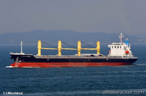
 V CETUS
Current Status
Where is the vessel?
V CETUS is currently in Near Tyne River, based on AIS data received about 1h ago.
Latest AIS update:
Current position: 55.03423° N, 1.38239° W (Near Tyne River)
Average speed (last 7 days): Loading…
Average speed (last 30 days): Loading…
Vessel profile: V CETUS is a Bulk Carrier with dimensions m x m.
This page combines live AIS, route history, probable destination signals, nearby traffic, and port activity for practical vessel monitoring.
The current position of vessel V CETUS is 55.03423 lat / -1.38239 lng. Updated: 2026-03-27 16:21:06 UTCNearest reference points:
- Near TYNE
- Near Blyth
- Near Hessle/Hull
Currently sailing under the flag of Panama ![]()
Details:
Live Vessel V CETUS Analytics (details, animations, etc.)
Recent AIS points (UTC):
2026-03-27 09:45:01 UTC · 55.03043, -1.38582 · SOG 0.5 kn · COG 327°2026-03-27 11:36:05 UTC · 55.03063, -1.38556 · SOG 0.7 kn · COG 325°
2026-03-27 14:21:03 UTC · 55.03341, -1.38335 · SOG 0.2 kn · COG 248°
2026-03-27 16:21:06 UTC · 55.03423, -1.38239 · SOG 0.2 kn · COG 246°