 vesseltracker.com
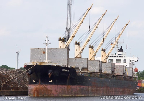
 K BEREKET
Current Status
Where is the vessel?
K BEREKET is currently in 57 nm S of San Clodio, based on AIS data received about 2h ago.
Latest AIS update:
Current position: 47.56106° N, 6.88713° W (57 nm S of San Clodio)
Average speed (last 7 days): Loading…
Average speed (last 30 days): Loading…
Vessel profile: K BEREKET is a Bulk Carrier with dimensions m x m.
This page combines live AIS, route history, probable destination signals, nearby traffic, and port activity for practical vessel monitoring.
The current position of vessel K BEREKET is 47.56106 lat / -6.88713 lng. Updated: 2026-03-27 02:21:47 UTCNearest reference points:
- 60 nm SE of San Clodio
- 58 nm SE of Rietheim-Weilheim
- 46 nm W of SEIN
Currently sailing under the flag of Liberia ![]()
Details:
Live Vessel K BEREKET Analytics (details, animations, etc.)
Recent AIS points (UTC):
2026-03-26 20:09:52 UTC · 48.67003, -5.97762 · SOG 11.4 kn · COG 211°2026-03-26 21:51:04 UTC · 48.38368, -6.21707 · SOG 11.8 kn · COG 212°
2026-03-27 00:04:23 UTC · 47.98907, -6.54103 · SOG 12.4 kn · COG 211°
2026-03-27 02:21:47 UTC · 47.56106, -6.88713 · SOG 12.9 kn · COG 208°