 vesseltracker.com
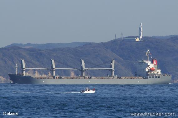
 HOANG ANH 11
Current Status
Where is the vessel?
HOANG ANH 11 is currently in 398 nm NE of Levelwood, based on AIS data received about 1h ago.
Latest AIS update:
Current position: 9.92938° S, 1.47475° W (398 nm NE of Levelwood)
Average speed (last 7 days): Loading…
Average speed (last 30 days): Loading…
Vessel profile: HOANG ANH 11 is a Cargo with dimensions m x m.
This page combines live AIS, route history, probable destination signals, nearby traffic, and port activity for practical vessel monitoring.
The current position of vessel HOANG ANH 11 is -9.92938 lat / -1.47475 lng. Updated: 2026-03-30 19:26:32 UTCNearest reference points:
- Open sea, approx. 402 nm off the nearest listed port
- Open sea, approx. 408 nm off the nearest listed port
- Open sea, approx. 407 nm off the nearest listed port
Currently sailing under the flag of Panama ![]()
Details:
Live Vessel HOANG ANH 11 Analytics (details, animations, etc.)
Recent AIS points (UTC):
2026-03-30 13:35:05 UTC · -9.22515, -1.97070 · SOG 9.1 kn · COG 149°2026-03-30 15:46:25 UTC · -9.49217, -1.78508 · SOG 8.7 kn · COG 149°
2026-03-30 17:25:53 UTC · -9.69008, -1.64988 · SOG 8.3 kn · COG 147°
2026-03-30 19:26:32 UTC · -9.92938, -1.47475 · SOG 8.9 kn · COG 143°