 vesseltracker.com
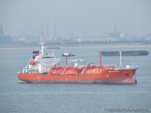
 GAS LOMBOK
Current Status
Where is the vessel?
GAS LOMBOK is currently in Near Dumai, based on AIS data received about 1h ago.
Latest AIS update:
Current position: 1.69167° N, 101.42833° E (Near Dumai)
Average speed (last 7 days): Loading…
Average speed (last 30 days): Loading…
Vessel profile: GAS LOMBOK is a Lpg Tanker with dimensions m x m.
This page combines live AIS, route history, probable destination signals, nearby traffic, and port activity for practical vessel monitoring.
The current position of vessel GAS LOMBOK is 1.69167 lat / 101.42833 lng. Updated: 2026-04-09 21:57:14 UTCNearest reference points:
- Near Dumai
- 14 nm W of SUNGAI UDANG
- 13 nm SW of PORT DICKSON
Currently sailing under the flag of Indonesia ![]()
Details:
Live Vessel GAS LOMBOK Analytics (details, animations, etc.)
Recent AIS points (UTC):
2026-04-09 16:18:14 UTC · 1.69310, 101.42981 · SOG 0 kn · COG 133°2026-04-09 17:45:10 UTC · 1.69309, 101.42983 · SOG 0 kn · COG 133°
2026-04-09 19:50:26 UTC · 1.69307, 101.42984 · SOG 0 kn · COG -1°
2026-04-09 21:57:14 UTC · 1.69167, 101.42833 · SOG 0 kn · COG -1°