 vesseltracker.com
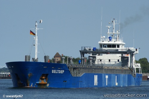
 KARILIIS
Current Status
Where is the vessel?
KARILIIS is currently in Near Naissaare, based on AIS data received about 2h ago.
Latest AIS update:
Current position: 59.62996° N, 24.41466° E (Near Naissaare)
Average speed (last 7 days): Loading…
Average speed (last 30 days): Loading…
Vessel profile: KARILIIS is a General Cargo with dimensions m x m.
This page combines live AIS, route history, probable destination signals, nearby traffic, and port activity for practical vessel monitoring.
The current position of vessel KARILIIS is 59.62996 lat / 24.41466 lng. Updated: 2026-04-01 15:41:00 UTCNearest reference points:
- Near Aegna
- Near Nurme
- Near Vanasadam
Currently sailing under the flag of Antigua and Barbuda ![]()
Details:
Live Vessel KARILIIS Analytics (details, animations, etc.)
Recent AIS points (UTC):
2026-04-01 10:10:01 UTC · 59.28833, 22.35662 · SOG 11.9 kn · COG 58°2026-04-01 12:14:20 UTC · 59.47143, 23.08202 · SOG 12.1 kn · COG 77°
2026-04-01 14:09:01 UTC · 59.55851, 23.82537 · SOG 11.9 kn · COG 76°
2026-04-01 15:41:00 UTC · 59.62996, 24.41466 · SOG 12 kn · COG 79°