 vesseltracker.com
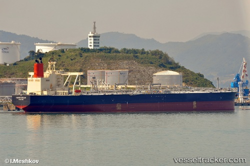
 HAKKAISAN
Current Status
Where is the vessel?
HAKKAISAN is currently in Near Covenas Offshore Terminal, based on AIS data received about 2d ago.
Latest AIS update:
Current position: 9.48765° N, 75.77307° W (Near Covenas Offshore Terminal)
Average speed (last 7 days): Loading…
Average speed (last 30 days): Loading…
Vessel profile: HAKKAISAN is a Crude Oil Tanker with dimensions m x m.
This page combines live AIS, route history, probable destination signals, nearby traffic, and port activity for practical vessel monitoring.
The current position of vessel HAKKAISAN is 9.48765 lat / -75.77307 lng. Updated: 2026-04-12 22:26:44 UTCNearest reference points:
- Near Contecar
- Near Sociedad Portuaria Regional Cartagena
- 15 nm NE of Capurgana
Currently sailing under the flag of Panama ![]()
Details:
Live Vessel HAKKAISAN Analytics (details, animations, etc.)
Recent AIS points (UTC):
2026-04-12 02:24:23 UTC · 9.66190, -76.16517 · SOG 10.1 kn · COG 102°2026-04-12 22:26:44 UTC · 9.48765, -75.77307 · SOG 0 kn · COG 358°
2026-04-12 22:26:44 UTC · 9.48765, -75.77307 · SOG 0 kn · COG 358°
2026-04-12 22:26:44 UTC · 9.48765, -75.77307 · SOG 0 kn · COG 358°