 vesseltracker.com
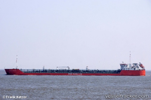
Armada Explorer
Current StatusWhere is the vessel?
Armada Explorer is currently in 65 nm E of Yalama, based on AIS data received about 96d ago.
Latest AIS update:
Current position: 42.07833° N, 49.95500° E (65 nm E of Yalama)
Average speed (last 7 days): Loading…
Average speed (last 30 days): Loading…
Vessel profile: Armada Explorer is a Chemical Oil Products Tanker with dimensions 16m x 138m.
This page combines live AIS, route history, probable destination signals, nearby traffic, and port activity for practical vessel monitoring.
The current position of vessel Armada Explorer is 42.07833 lat / 49.95500 lng. Updated: 2026-01-08 00:44:22 UTCNearest reference points:
- 35 nm W of Kuryk
- 29 nm SW of Kuryk
- 24 nm W of Kuryk
Details:
Live Vessel Armada Explorer Analytics (details, animations, etc.)
Recent AIS points (UTC):
2026-01-08 00:44:22 UTC · 42.07833, 49.95500 · SOG 5 kn · COG -1°