 vesseltracker.com
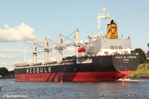
 SUPER EMMA
Current Status
Where is the vessel?
SUPER EMMA is currently in Near Sarköy, based on AIS data received about 1h ago.
Latest AIS update:
Current position: 40.55920° N, 27.02480° E (Near Sarköy)
Average speed (last 7 days): Loading…
Average speed (last 30 days): Loading…
Vessel profile: SUPER EMMA is a General Cargo Ship with dimensions m x m.
This page combines live AIS, route history, probable destination signals, nearby traffic, and port activity for practical vessel monitoring.
The current position of vessel SUPER EMMA is 40.55920 lat / 27.02480 lng. Updated: 2026-03-28 11:48:29 UTCNearest reference points:
- Near Sarköy
- Near Marmara Adasi
- Near Gelibolu
Currently sailing under the flag of Marshall Islands ![]()
SUPER EMMA built in 2008 year
Deadweight:
37277 tDetails:
Live Vessel SUPER EMMA Analytics (details, animations, etc.)
Recent AIS points (UTC):
2026-03-28 06:25:11 UTC · 40.77178, 27.65643 · SOG 11.6 kn · COG 257°2026-03-28 07:20:41 UTC · 40.69963, 27.43156 · SOG 12.1 kn · COG 246°
2026-03-28 10:24:30 UTC · 40.55848, 27.02540 · SOG 0 kn · COG 52°
2026-03-28 11:48:29 UTC · 40.55920, 27.02480 · SOG 0 kn · COG 80°