 vesseltracker.com
 ENY
ENY
Current Status
Where is the vessel?
ENY is currently in Near KEMAMAN, based on AIS data received about 1h ago.
Latest AIS update:
Current position: 4.23061° N, 103.55541° E (Near KEMAMAN)
Average speed (last 7 days): Loading…
Average speed (last 30 days): Loading…
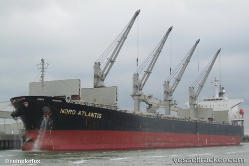
Vessel profile: ENY is a Bulk Carrier with dimensions 32m x 190m.
This page combines live AIS, route history, probable destination signals, nearby traffic, and port activity for practical vessel monitoring.
The current position of vessel ENY is 4.23061 lat / 103.55541 lng. Updated: 2026-03-30 09:28:48 UTCNearest reference points:
- Near KEMAMAN
- Near Cukai
- 29 nm SW of Dulang Marine Terminal
Currently sailing under the flag of Korea (Republic of) ![]()
ENY built in 2006 year
Deadweight:
53525 tDetails:
Live Vessel ENY Analytics (details, animations, etc.)
Recent AIS points (UTC):
2026-03-30 04:01:49 UTC · 4.23340, 103.55682 · SOG 0 kn · COG 179°2026-03-30 05:52:48 UTC · 4.23292, 103.55573 · SOG 0 kn · COG 138°
2026-03-30 08:16:51 UTC · 4.23081, 103.55520 · SOG 0 kn · COG 63°
2026-03-30 09:28:48 UTC · 4.23061, 103.55541 · SOG 0 kn · COG 58°