 vesseltracker.com
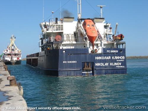
 KARELIS 71
Current Status
Where is the vessel?
KARELIS 71 is currently in 25 nm SW of Taganrog, based on AIS data received about 5d ago.
Latest AIS update:
Current position: 46.98715° N, 38.41881° E (25 nm SW of Taganrog)
Average speed (last 7 days): Loading…
Average speed (last 30 days): Loading…
Vessel profile: KARELIS 71 is a General Cargo Ship with dimensions 108m x 17m.
This page combines live AIS, route history, probable destination signals, nearby traffic, and port activity for practical vessel monitoring.
The current position of vessel KARELIS 71 is 46.98715 lat / 38.41881 lng. Updated: 2026-03-29 14:53:06 UTCNearest reference points:
- 21 nm SW of Taganrog
- 19 nm SW of Taganrog
- 18 nm SW of Taganrog
Currently sailing under the flag of St.Kitts and Nevis ![]()
KARELIS 71 built in 2006 year
Deadweight:
6882 tDetails:
Live Vessel KARELIS 71 Analytics (details, animations, etc.)
Recent AIS points (UTC):
2026-03-28 10:14:14 UTC · 45.31129, 36.50636 · SOG 0 kn · COG -1°2026-03-29 14:53:06 UTC · 46.98715, 38.41881 · SOG 6.3 kn · COG 227°
2026-03-29 14:53:06 UTC · 46.98715, 38.41881 · SOG 6.3 kn · COG 227°
2026-03-29 14:53:06 UTC · 46.98715, 38.41881 · SOG 6.3 kn · COG 227°