 vesseltracker.com
 RIVIERA
Current Status
Where is the vessel?
RIVIERA is currently in Near Honolulu, based on AIS data received less than 1h ago.
Latest AIS update:
Current position: 21.28294° N, 157.91693° W (Near Honolulu)
Average speed (last 7 days): Loading…
Average speed (last 30 days): Loading…
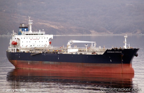
Vessel profile: RIVIERA is a Oil/Chemical Tanker with dimensions m x m.
This page combines live AIS, route history, probable destination signals, nearby traffic, and port activity for practical vessel monitoring.
The current position of vessel RIVIERA is 21.28294 lat / -157.91693 lng. Updated: 2026-03-30 10:14:55 UTCNearest reference points:
- Near Honolulu
- Near Kaunakakai
- 132 nm SW of Barbers Point
Currently sailing under the flag of Liberia ![]()
Details:
Live Vessel RIVIERA Analytics (details, animations, etc.)
Recent AIS points (UTC):
2026-03-30 04:17:46 UTC · 21.28174, -157.91470 · SOG 0 kn · COG 4°2026-03-30 05:32:48 UTC · 21.28194, -157.91557 · SOG 0.1 kn · COG 22°
2026-03-30 07:35:53 UTC · 21.28257, -157.91637 · SOG 0.2 kn · COG 44°
2026-03-30 10:14:55 UTC · 21.28294, -157.91693 · SOG 0.2 kn · COG 68°