 vesseltracker.com
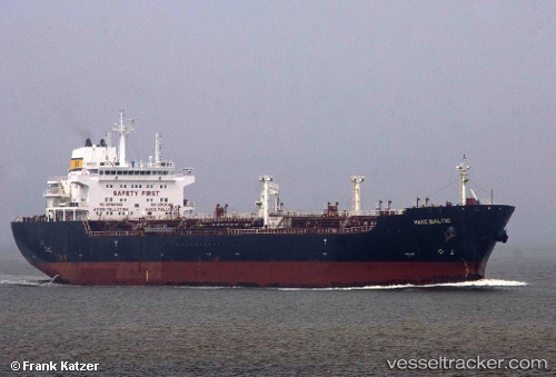
 RAGNAR
Current Status
Where is the vessel?
RAGNAR is currently in 48 nm S of Ronehamn, based on AIS data received about 1h ago.
Latest AIS update:
Current position: 56.39655° N, 18.89826° E (48 nm S of Ronehamn)
Average speed (last 7 days): Loading…
Average speed (last 30 days): Loading…
Vessel profile: RAGNAR is a Oil/Chemical Tanker with dimensions m x m.
This page combines live AIS, route history, probable destination signals, nearby traffic, and port activity for practical vessel monitoring.
The current position of vessel RAGNAR is 56.39655 lat / 18.89826 lng. Updated: 2026-04-14 23:35:07 UTCNearest reference points:
- 39 nm W of Pilies juru uosto PVP/Klaipeda
- 17 nm W of Gusevka
- Near WLADYSLAWOWO
Currently sailing under the flag of Sierra Leone ![]()
Details:
Live Vessel RAGNAR Analytics (details, animations, etc.)
Recent AIS points (UTC):
2026-04-14 17:42:35 UTC · 55.78626, 16.74162 · SOG 13.9 kn · COG 77°2026-04-14 20:15:36 UTC · 55.94707, 17.76647 · SOG 14 kn · COG 60°
2026-04-14 21:32:37 UTC · 56.09919, 18.23350 · SOG 14.1 kn · COG 59°
2026-04-14 23:35:07 UTC · 56.39655, 18.89826 · SOG 14.2 kn · COG 34°