 vesseltracker.com
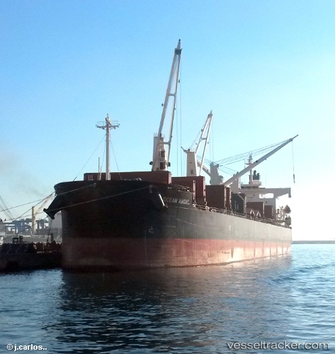
Free State
Current StatusWhere is the vessel?
Free State is currently in Near Maltepe, based on AIS data received about 2h ago.
Latest AIS update:
Current position: 40.78856° N, 29.05580° E (Near Maltepe)
Average speed (last 7 days): Loading…
Average speed (last 30 days): Loading…
Vessel profile: Free State is a Bulk Carrier with dimensions 32m x 185m.
This page combines live AIS, route history, probable destination signals, nearby traffic, and port activity for practical vessel monitoring.
The current position of vessel Free State is 40.78856 lat / 29.05580 lng. Updated: 2026-03-29 05:33:56 UTCNearest reference points:
- Near Maltepe
- 11 nm S of Maltepe
- 14 nm SW of Maltepe
Details:
Live Vessel Free State Analytics (details, animations, etc.)
Recent AIS points (UTC):
2026-03-28 23:24:51 UTC · 40.81028, 29.06187 · SOG 4.1 kn · COG 157°2026-03-29 01:06:55 UTC · 40.78435, 29.02025 · SOG 0.6 kn · COG 269°
2026-03-29 04:08:15 UTC · 40.79362, 29.03988 · SOG 0.4 kn · COG 236°
2026-03-29 05:33:56 UTC · 40.78856, 29.05580 · SOG 1 kn · COG 174°