 vesseltracker.com
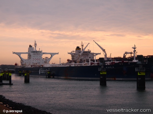
 KAHLA
KAHLA
Current Status
Where is the vessel?
KAHLA is currently in 15 nm SE of Yanbu Industrial City, based on AIS data received about 5h ago.
Latest AIS update:
Current position: 23.80213° N, 38.40650° E (15 nm SE of Yanbu Industrial City)
Average speed (last 7 days): Loading…
Average speed (last 30 days): Loading…
Vessel profile: KAHLA is a Crude Oil Tanker with dimensions 333m x 60m.
This page combines live AIS, route history, probable destination signals, nearby traffic, and port activity for practical vessel monitoring.
The current position of vessel KAHLA is 23.80213 lat / 38.40650 lng. Updated: 2026-04-04 02:56:00 UTCNearest reference points:
- 30 nm SW of Yanbu
- 42 nm NW of Fiji
- 35 nm S of Umm Lajj
Currently sailing under the flag of Saudi Arabia ![]()
KAHLA built in 2009 year
Deadweight:
317521 tDetails:
Live Vessel KAHLA Analytics (details, animations, etc.)
Recent AIS points (UTC):
2026-04-04 01:29:00 UTC · 23.80214, 38.40652 · SOG 0 kn · COG 314°2026-04-04 02:38:00 UTC · 23.80210, 38.40651 · SOG 0 kn · COG 314°
2026-04-04 02:56:00 UTC · 23.80213, 38.40650 · SOG 0 kn · COG 314°
2026-04-04 02:56:00 UTC · 23.80213, 38.40650 · SOG 0 kn · COG 314°