 vesseltracker.com
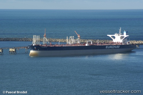
 Kaombo Sul
Current Status
Where is the vessel?
Kaombo Sul is currently in 13 nm NW of CLOV FPSO, based on AIS data received about 1h ago.
Latest AIS update:
Current position: 7.36285° S, 11.37537° E (13 nm NW of CLOV FPSO)
Average speed (last 7 days): Loading…
Average speed (last 30 days): Loading…
Vessel profile: Kaombo Sul is a Crude Oil Tanker with dimensions 334m x 65m.
This page combines live AIS, route history, probable destination signals, nearby traffic, and port activity for practical vessel monitoring.
The current position of vessel Kaombo Sul is -7.36285 lat / 11.37537 lng. Updated: 2026-03-28 09:33:37 UTCNearest reference points:
- Near Greater Plutonio
- Near SOYO
- 11 nm W of Cabinda
Currently sailing under the flag of Bahamas ![]()
Kaombo Sul built in 2009 year
Deadweight:
318000 tDetails:
Live Vessel Kaombo Sul Analytics (details, animations, etc.)
Recent AIS points (UTC):
2026-03-28 03:38:57 UTC · -7.36333, 11.37500 · SOG 0 kn · COG -1°2026-03-28 05:10:53 UTC · -7.36297, 11.37575 · SOG 0.1 kn · COG -1°
2026-03-28 07:16:49 UTC · -7.36307, 11.37595 · SOG 0 kn · COG -1°
2026-03-28 09:33:37 UTC · -7.36285, 11.37537 · SOG 0.1 kn · COG 189°