 vesseltracker.com
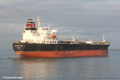
 SEAWAYS MELINA
Current Status
Where is the vessel?
SEAWAYS MELINA is currently in 127 nm NW of Sado Shima Apt, based on AIS data received less than 1h ago.
Latest AIS update:
Current position: 39.87645° N, 136.99451° E (127 nm NW of Sado Shima Apt)
Average speed (last 7 days): Loading…
Average speed (last 30 days): Loading…
Vessel profile: SEAWAYS MELINA is a Oil/Chemical Tanker with dimensions m x m.
This page combines live AIS, route history, probable destination signals, nearby traffic, and port activity for practical vessel monitoring.
The current position of vessel SEAWAYS MELINA is 39.87645 lat / 136.99451 lng. Updated: 2026-03-29 15:53:43 UTCNearest reference points:
- 63 nm NW of Sado Shima Apt
Currently sailing under the flag of Marshall Islands ![]()
Details:
Live Vessel SEAWAYS MELINA Analytics (details, animations, etc.)
Recent AIS points (UTC):
2026-03-29 09:42:39 UTC · 39.23905, 135.38667 · SOG 12.9 kn · COG 66°2026-03-29 09:42:39 UTC · 39.23905, 135.38667 · SOG 12.9 kn · COG 66°
2026-03-29 13:37:30 UTC · 39.63095, 136.36572 · SOG 13.4 kn · COG 73°
2026-03-29 15:53:43 UTC · 39.87645, 136.99451 · SOG 14.3 kn · COG 65°