 vesseltracker.com
 Mt Semeru
Current Status
Where is the vessel?
Mt Semeru is currently in 163 nm SE of Masirah, based on AIS data received about 2h ago.
Latest AIS update:
Current position: 19.09166° N, 61.34833° E (163 nm SE of Masirah)
Average speed (last 7 days): Loading…
Average speed (last 30 days): Loading…
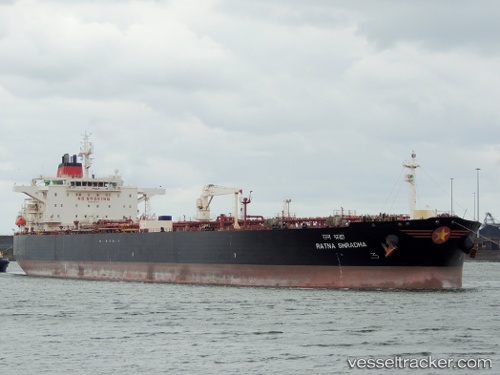
Vessel profile: Mt Semeru is a Crude Oil Tanker with dimensions 244m x 42m.
This page combines live AIS, route history, probable destination signals, nearby traffic, and port activity for practical vessel monitoring.
The current position of vessel Mt Semeru is 19.09166 lat / 61.34833 lng. Updated: 2026-04-02 15:28:07 UTCNearest reference points:
- 262 nm SE of SUR
- 224 nm E of SUR
Currently sailing under the flag of Malta ![]()
Mt Semeru built in 2008 year
Deadweight:
105746 tDetails:
Live Vessel Mt Semeru Analytics (details, animations, etc.)
Recent AIS points (UTC):
2026-04-02 10:16:02 UTC · 19.17833, 60.23833 · SOG 12 kn · COG -1°2026-04-02 12:04:07 UTC · 19.15167, 60.62167 · SOG 12 kn · COG -1°
2026-04-02 13:01:07 UTC · 19.13500, 60.82667 · SOG 12 kn · COG -1°
2026-04-02 15:28:07 UTC · 19.09166, 61.34833 · SOG 11 kn · COG -1°