 vesseltracker.com
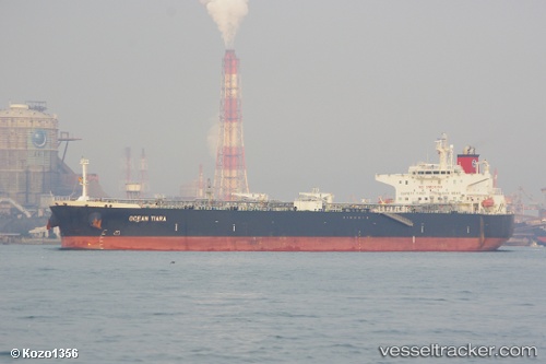
 BYZANTIUM
Current Status
Where is the vessel?
BYZANTIUM is currently in 105 nm NE of Matruh, based on AIS data received less than 1h ago.
Latest AIS update:
Current position: 32.91560° N, 28.22543° E (105 nm NE of Matruh)
Average speed (last 7 days): Loading…
Average speed (last 30 days): Loading…
Vessel profile: BYZANTIUM is a Crude Oil Tanker with dimensions m x m.
This page combines live AIS, route history, probable destination signals, nearby traffic, and port activity for practical vessel monitoring.
The current position of vessel BYZANTIUM is 32.91560 lat / 28.22543 lng. Updated: 2026-03-31 11:12:06 UTCNearest reference points:
- 91 nm SE of Polychnitos Lesvou
- 129 nm NW of ABU QIR
- 28 nm N of Hamra
Currently sailing under the flag of Panama ![]()
Details:
Live Vessel BYZANTIUM Analytics (details, animations, etc.)
Recent AIS points (UTC):
2026-03-31 05:30:57 UTC · 32.59960, 29.62146 · SOG 12.9 kn · COG -1°2026-03-31 08:01:22 UTC · 32.74172, 29.00631 · SOG 12.7 kn · COG -1°
2026-03-31 09:51:40 UTC · 32.84265, 28.55690 · SOG 12.6 kn · COG -1°
2026-03-31 11:12:06 UTC · 32.91560, 28.22543 · SOG 12.8 kn · COG -1°