 vesseltracker.com
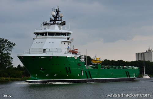
 OCEANICASUB VIII
Current Status
Where is the vessel?
OCEANICASUB VIII is currently in Near Maceio, based on AIS data received about 1h ago.
Latest AIS update:
Current position: 9.72299° S, 35.72256° W (Near Maceio)
Average speed (last 7 days): Loading…
Average speed (last 30 days): Loading…
Vessel profile: OCEANICASUB VIII is a Offshore Supply Ship with dimensions m x m.
This page combines live AIS, route history, probable destination signals, nearby traffic, and port activity for practical vessel monitoring.
The current position of vessel OCEANICASUB VIII is -9.72299 lat / -35.72256 lng. Updated: 2026-03-28 09:51:37 UTCNearest reference points:
- Near Suape
- Near Barra dos Coqueiros
- Near Aracaju
Details:
Live Vessel OCEANICASUB VIII Analytics (details, animations, etc.)
Recent AIS points (UTC):
2026-03-28 04:21:30 UTC · -9.68193, -35.72861 · SOG 0 kn · COG 19°2026-03-28 06:00:50 UTC · -9.68193, -35.72863 · SOG 0 kn · COG 11°
2026-03-28 07:46:59 UTC · -9.68193, -35.72865 · SOG 0 kn · COG 7°
2026-03-28 09:51:37 UTC · -9.72299, -35.72256 · SOG 9.3 kn · COG 52°