 vesseltracker.com
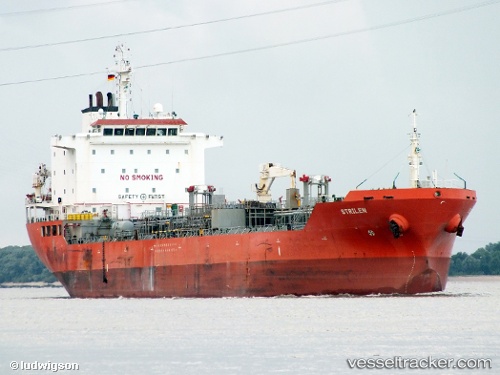
 CHEM DIDI
Current Status
Where is the vessel?
CHEM DIDI is currently in Near Antalya Free Zone, based on AIS data received less than 1h ago.
Latest AIS update:
Current position: 36.79409° N, 30.59973° E (Near Antalya Free Zone)
Average speed (last 7 days): Loading…
Average speed (last 30 days): Loading…
Vessel profile: CHEM DIDI is a Oil/Chemical Tanker with dimensions m x m.
This page combines live AIS, route history, probable destination signals, nearby traffic, and port activity for practical vessel monitoring.
The current position of vessel CHEM DIDI is 36.79409 lat / 30.59973 lng. Updated: 2026-04-10 02:16:02 UTCNearest reference points:
- Near Antalya Free Zone
- Near Antalya
- Near Kemer
Currently sailing under the flag of Turkey ![]()
Details:
Live Vessel CHEM DIDI Analytics (details, animations, etc.)
Recent AIS points (UTC):
2026-04-09 16:04:13 UTC · 36.09187, 29.71244 · SOG 11.1 kn · COG 85°2026-04-09 22:06:52 UTC · 36.78633, 30.59937 · SOG 5.2 kn · COG 2°
2026-04-09 23:46:02 UTC · 36.79354, 30.60046 · SOG 0 kn · COG 249°
2026-04-10 02:16:02 UTC · 36.79409, 30.59973 · SOG 0.1 kn · COG 233°