 vesseltracker.com
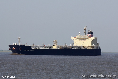
 ISLEMAN
Current Status
Where is the vessel?
ISLEMAN is currently in Near Port Royal, based on AIS data received about 1h ago.
Latest AIS update:
Current position: 17.94220° N, 76.84635° W (Near Port Royal)
Average speed (last 7 days): Loading…
Average speed (last 30 days): Loading…
Vessel profile: ISLEMAN is a Oil/Chemical Tanker with dimensions m x m.
This page combines live AIS, route history, probable destination signals, nearby traffic, and port activity for practical vessel monitoring.
The current position of vessel ISLEMAN is 17.94220 lat / -76.84635 lng. Updated: 2026-04-01 03:24:08 UTCNearest reference points:
- 16 nm SE of Ceiba Hueca
Currently sailing under the flag of Marshall Islands ![]()
Details:
Live Vessel ISLEMAN Analytics (details, animations, etc.)
Recent AIS points (UTC):
2026-03-31 21:51:04 UTC · 17.94381, -76.84877 · SOG 0.1 kn · COG 106°2026-03-31 23:32:27 UTC · 17.94167, -76.84500 · SOG 0 kn · COG -1°
2026-04-01 01:45:08 UTC · 17.94239, -76.84613 · SOG 0 kn · COG 309°
2026-04-01 03:24:08 UTC · 17.94220, -76.84635 · SOG 0 kn · COG 316°