 vesseltracker.com
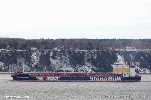
 SHAMAL
Current Status
Where is the vessel?
SHAMAL is currently in 18 nm W of Barcarena, based on AIS data received about 1h ago.
Latest AIS update:
Current position: 0.38722° S, 47.66880° W (18 nm W of Barcarena)
Average speed (last 7 days): Loading…
Average speed (last 30 days): Loading…
Vessel profile: SHAMAL is a Oil Products Tanker with dimensions m x m.
This page combines live AIS, route history, probable destination signals, nearby traffic, and port activity for practical vessel monitoring.
The current position of vessel SHAMAL is -0.38722 lat / -47.66880 lng. Updated: 2026-04-07 23:40:17 UTCNearest reference points:
- Near Belem
- 70 nm N of Tucuma
- 55 nm N of Tucuma
Currently sailing under the flag of Cyprus ![]()
Details:
Live Vessel SHAMAL Analytics (details, animations, etc.)
Recent AIS points (UTC):
2026-04-07 17:34:56 UTC · -0.05833, -46.86667 · SOG 5 kn · COG -1°2026-04-07 19:37:58 UTC · -0.07140, -47.04637 · SOG 5.4 kn · COG 246°
2026-04-07 21:27:22 UTC · -0.21360, -47.31735 · SOG 10.5 kn · COG 245°
2026-04-07 23:40:17 UTC · -0.38722, -47.66880 · SOG 4.4 kn · COG 260°