 vesseltracker.com
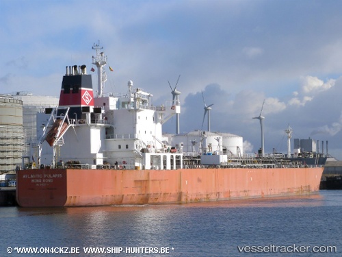
 SEAWAYS POLARIS
Current Status
Where is the vessel?
SEAWAYS POLARIS is currently in Near Beaumont, based on AIS data received less than 1h ago.
Latest AIS update:
Current position: 30.07171° N, 94.05685° W (Near Beaumont)
Average speed (last 7 days): Loading…
Average speed (last 30 days): Loading…
Vessel profile: SEAWAYS POLARIS is a Oil/Chemical Tanker with dimensions m x m.
This page combines live AIS, route history, probable destination signals, nearby traffic, and port activity for practical vessel monitoring.
The current position of vessel SEAWAYS POLARIS is 30.07171 lat / -94.05685 lng. Updated: 2026-04-01 14:19:31 UTCNearest reference points:
- Near Beaumont
- Near Dowling
- Near SUNOCO LOGISTICS
Currently sailing under the flag of Marshall Islands ![]()
Details:
Live Vessel SEAWAYS POLARIS Analytics (details, animations, etc.)
Recent AIS points (UTC):
2026-04-01 08:10:25 UTC · 30.07171, -94.05683 · SOG 0 kn · COG 180°2026-04-01 09:28:24 UTC · 30.07167, -94.05667 · SOG 0 kn · COG -1°
2026-04-01 12:22:26 UTC · 30.07170, -94.05683 · SOG 0 kn · COG 179°
2026-04-01 14:19:31 UTC · 30.07171, -94.05685 · SOG 0 kn · COG 179°