 vesseltracker.com
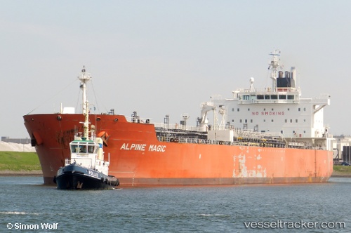
 GREAT WHITE
Current Status
Where is the vessel?
GREAT WHITE is currently in Near Punta Cugno, based on AIS data received about 1d ago.
Latest AIS update:
Current position: 37.20739° N, 15.20364° E (Near Punta Cugno)
Average speed (last 7 days): Loading…
Average speed (last 30 days): Loading…
Vessel profile: GREAT WHITE is a Oil/Chemical Tanker with dimensions m x m.
This page combines live AIS, route history, probable destination signals, nearby traffic, and port activity for practical vessel monitoring.
The current position of vessel GREAT WHITE is 37.20739 lat / 15.20364 lng. Updated: 2026-04-10 07:10:47 UTCNearest reference points:
- Near Punta Cugno
- Near Augusta
- Near Pier Isab
Currently sailing under the flag of Marshall Islands ![]()
Details:
Live Vessel GREAT WHITE Analytics (details, animations, etc.)
Recent AIS points (UTC):
2026-04-10 02:24:37 UTC · 37.19602, 15.27806 · SOG 10.8 kn · COG 270°2026-04-10 03:46:35 UTC · 37.20786, 15.20389 · SOG 0 kn · COG -1°
2026-04-10 05:55:46 UTC · 37.20757, 15.20384 · SOG 0 kn · COG 296°
2026-04-10 07:10:47 UTC · 37.20739, 15.20364 · SOG 0 kn · COG 307°